Sector: Topography
Director: Maria Tsakiri
Contact
Address:
Raptoposa Dionysos, Attica
Website: dionysos.survey.ntua.gr
Short Description
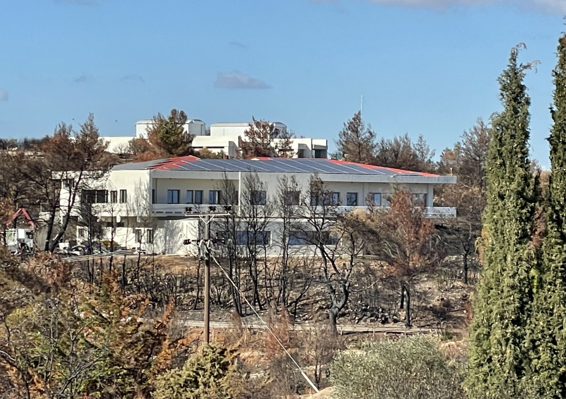
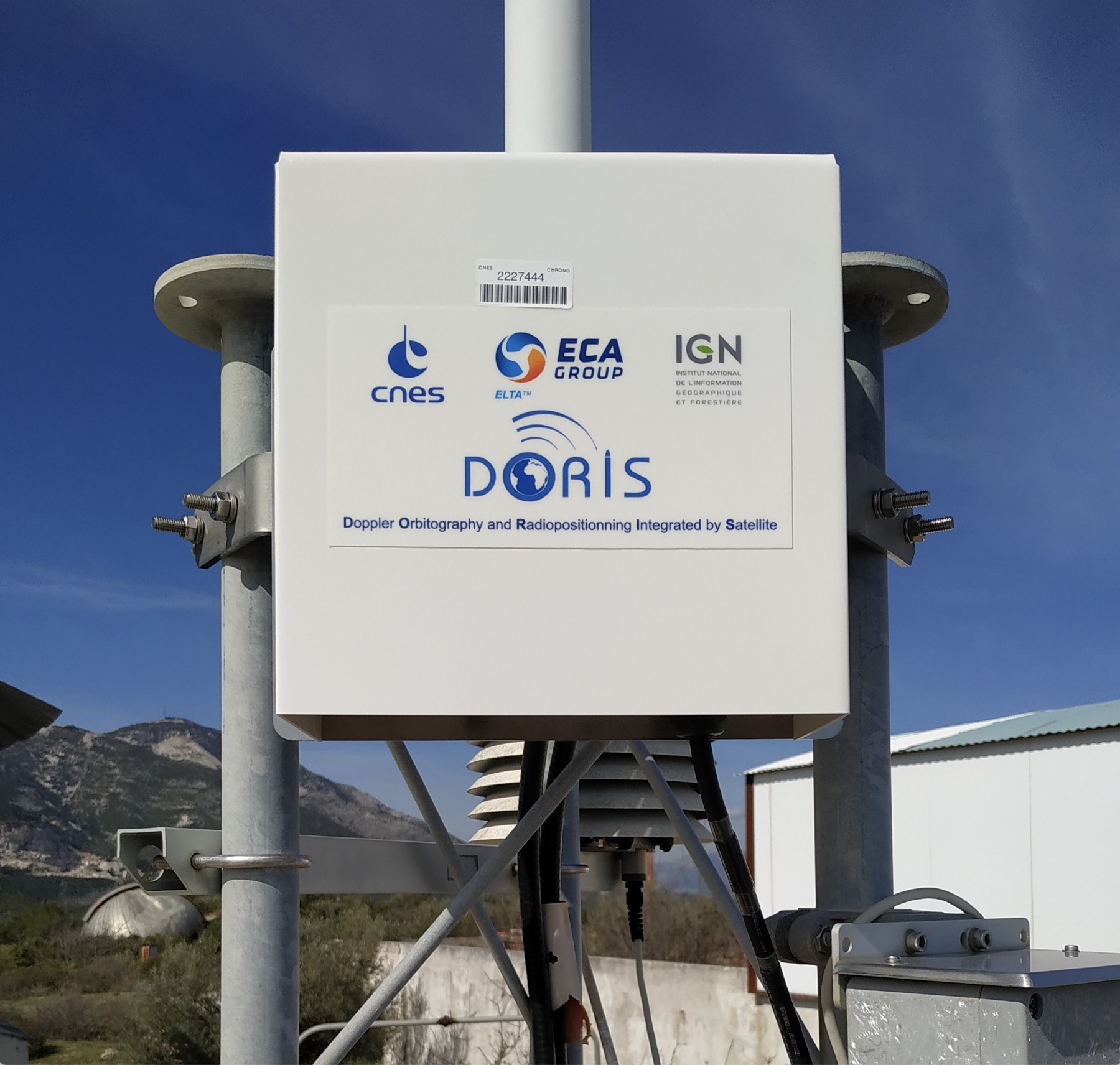
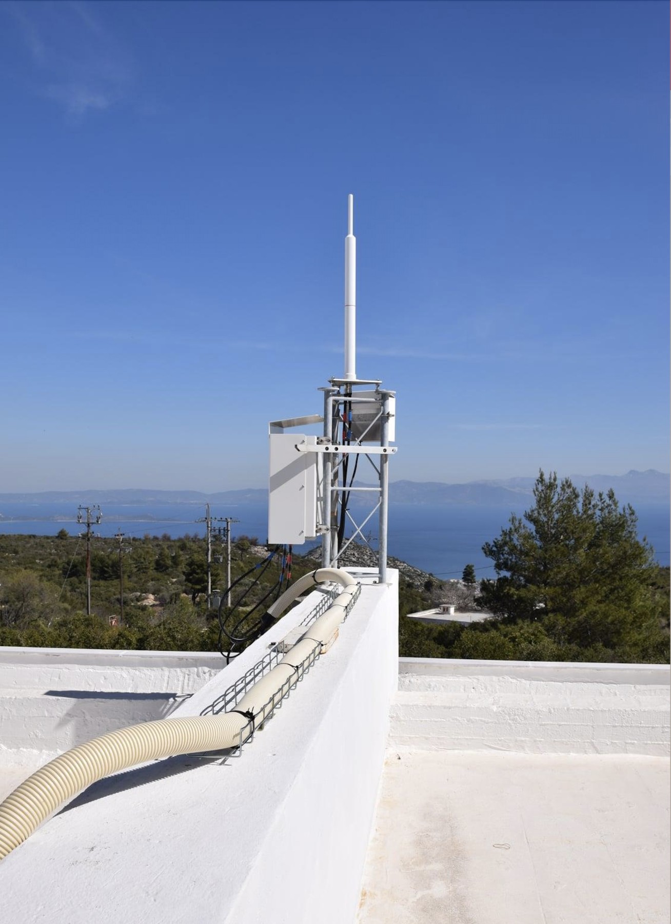
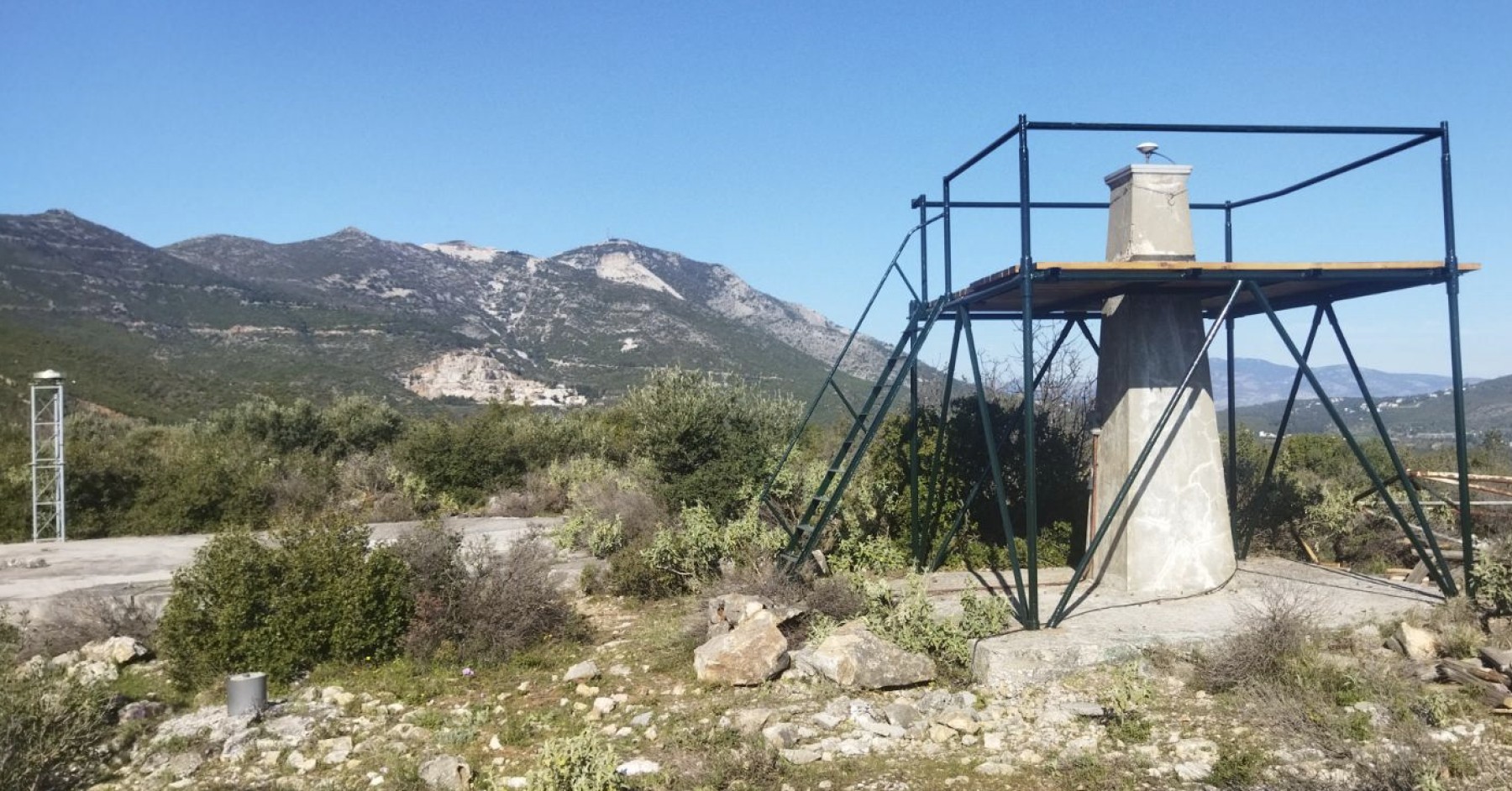
Dionysos Satellite Observatory (DSO), since the late 1960s, has supported the educational and research mission of the School in the fields of satellite and space geodesy. Its activities focus on Earth system monitoring using GNSS and DORIS, the study of geodynamic phenomena, precise orbit determination of satellites, satellite altimetry and gravimetry, satellite navigation, and space debris tracking. The observatory also contributes to the development and maintenance of geodetic reference frames. Actively involved in international scientific services, DSO plays a key role in advancing geodetic science and strengthening Greece’s geospatial infrastructure.
Education
DSO is actively involved in the educational process, covering key areas such as Space Geodesy, Earth Dynamics, Satellite Systems, and Global Geodetic Reference Frames. Its educational contribution includes the teaching of both core and elective undergraduate courses, such as Geodesy III, Geodesy IV, and Special Topics in Satellite Geodesy, as well as participation in the summer Geodetic Field Exercises II. The curriculum addresses a wide range of topics, including satellite orbits, GNSS techniques, DORIS, SLR, VLBI, satellite altimetry and gravimetry, and advanced methods for satellite data processing. Emphasis is placed on linking theory to practice through lab exercises and the use of real observational data.At the postgraduate level, the Laboratory plays a key role in the MSc Program “Geoinformatics”, offering specialized courses and supervising MSc and PhD theses on cutting-edge topics, fostering the integration of education and geodetic research.
Research
DSO specializes in Space Technologies, Satellite Geodesy, and Geodetic Reference Systems. Its research covers Earth’s rotation and dynamic behavior, celestial and terrestrial reference frames (e.g., ITRF), and satellite orbit dynamics—from Keplerian motion and two-body problems to high-precision orbit determination under perturbations. It focuses extensively on Earth observation using GNSS, DORIS, SLR, SAR, and satellite altimetry. It develops and applies advanced data processing methods, including Precise Point Positioning (PPP) and GNSS ambiguity resolution algorithms, and works with GNSS augmentation systems and high-accuracy navigation. Emphasis is placed on solid Earth kinematics, the implementation of modern dynamic reference frames, the study of tidal effects, environmental monitoring, natural hazard early warning, and the integration of low-cost GNSS receivers and sensors into geodetic applications.