Sector: Topography
Director: Vassilia Karathanassi
Contact
Address:
Lampadarios Building, 9 Iroon Polytechneiou,
Zografou 15780, Attica
Website: survey.ntua.gr/rslab
Short Description
The Remote Sensing Laboratory was established by Presidential Decree 451 in November 1987 and belongs to the Department of Topography within the School of Rural, Surveying and Geoinformatics Engineering. Its purpose is to support educational and research activities in the fields of Multispectral, Hyperspectral, Microwave, and Thermal Remote Sensing, in the analysis of multimodal, multiscale, and multitemporal Remote Sensing data using Machine Learning and Artificial Intelligence techniques, as well as in several environmental monitoring and engineering applications including oceanography, topography, geomorphology, agriculture, forestry, land and coastal management, and applications in safety and protection from natural disasters and climate change challenges.
Education
Undergraduate coursesThe Remote Sensing Laboratory offers the following undergraduate courses:
Remote Sensing Ι (Compulsory course)
Remote Sensing II (Compulsory course)
Microwave Remote Sensing (Stream-Specific Compulsory Course)
Special Topics of Remote Sensing (elective course)
Summer Course in Photogrammetry and in Remote Sensing (elective course)
Participation in:
Machine Learning in Geoinformatics (Stream-Specific Compulsory Course)
Development of Web-based Geoinformatics Applications (Stream-Specific Compulsory Course)
Environment & Development (Interschool course)
Postgraduate courses
"Introduction to the Sciences of Environment and Development", Postgraduate programme of the NTUA “Environment and Development"
"Methods and techniques for Environmental Observation and Monitoring”, Postgraduate programme of the NTUA "Environment and Development"
"Advanced Methods of Digital Remote Sensing", Postgraduate programme of the NTUA "Environment and Development"
“Methods and techniques for Observing and Monitoring Mountain regions”, Postgraduate programme of the NTUA "Environment and Development of the mountainous regions"
"Artificial Intelligence and knowledge- based systems”, Postgraduate programme of the NTUA "Geoinformation"
"Advanced Methods of Digital Remote Sensing", Postgraduate programme of the NTUA "Geoinformation"
"Remote Sensing Methods for Earth Observation", Postgraduate programme of the NTUA "Mathematical modeling in modern technologies and economics"
"Remote Sensing / Earth Observation Methods and Databases for the study of the Marine Environment", Postgraduate programme of the NTUA "Marine Technology and Science"
“Geospatial Data Analytics”, Postgraduate programme of the NTUA “Data Science and Machine Learning”
"Earth Observation Bid Data analytics", Postgraduate programme of the NTUA "Geoinformation"
Participation in:
"Theory in Geoinformatics", Postgraduate programme of the NTUA "Geoinformation"
"Computational Methods in Geoinformatics", Postgraduate programme of the NTUA "Geoinformation"
Research
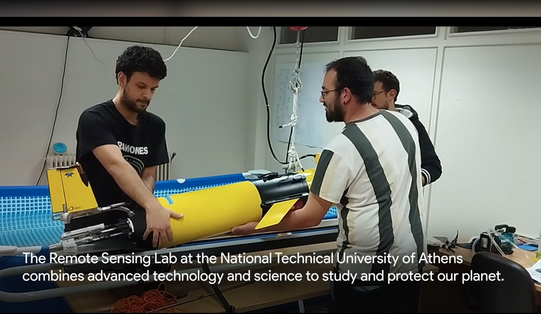
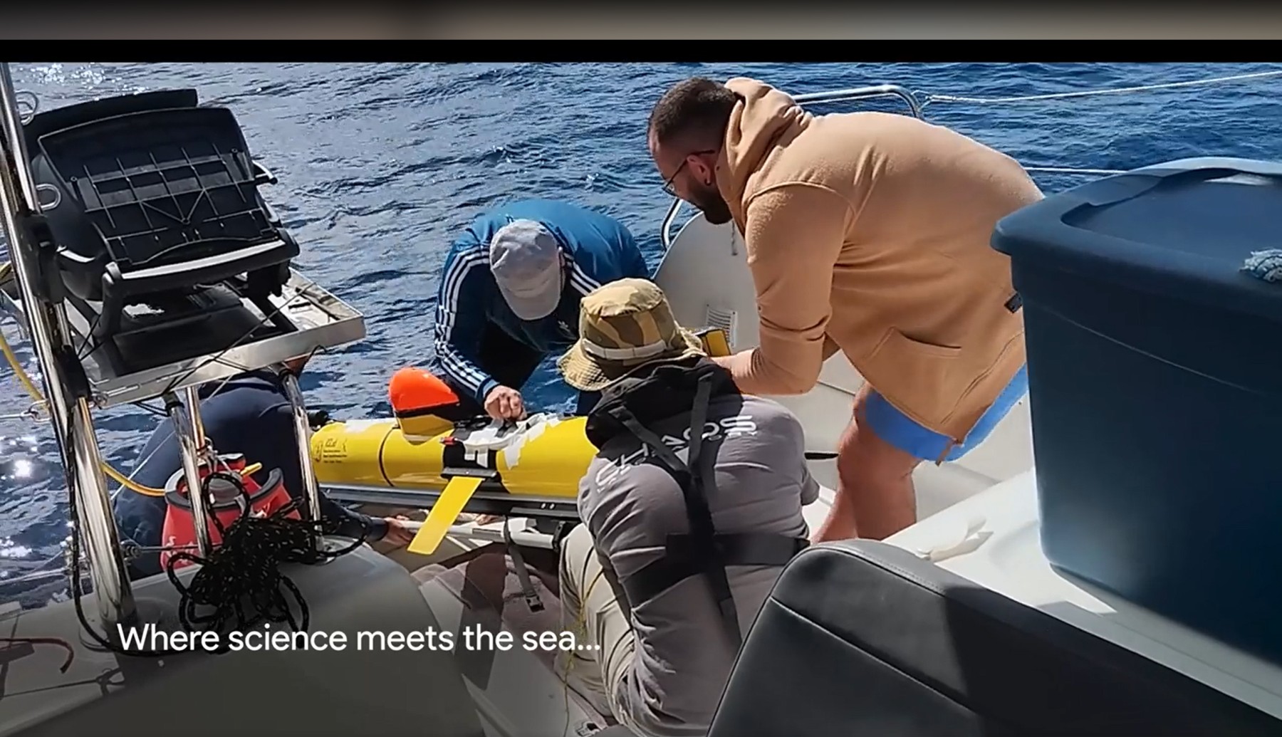
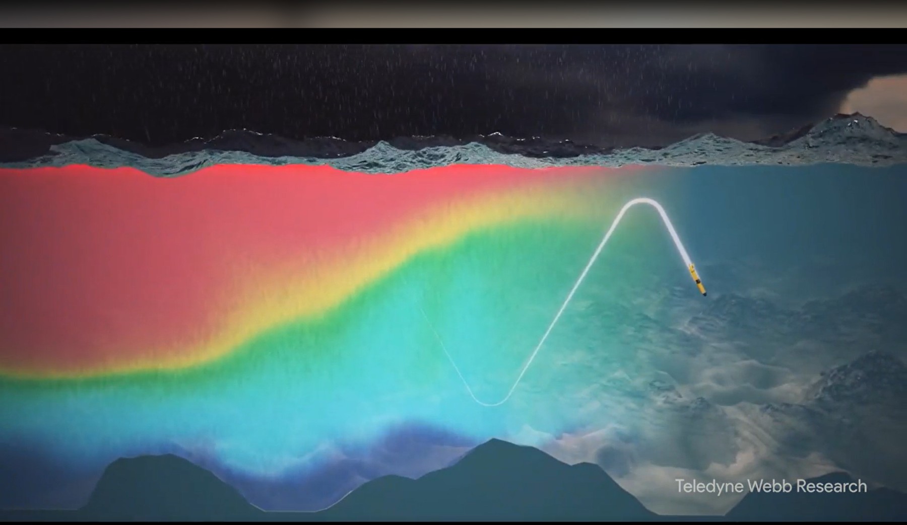
The Remote Sensing Lab at NTUA specializes in advanced methodologies for harnessing and analyzing multi-modal and multi-temporal Earth Observation (EO) big data, integrating cutting-edge machine learning and AI to generate meaningful insights to address pressing environmental and societal challenges toward sustainability. We focus on remote sensing foundation models, self-supervised learning for multi-modal EO data, and vision-language models for remote sensing interpretation. Our research spans atmospheric, radiometric, and geometric corrections, SAR Interferometry (InSAR), DInSAR, Time Serries InSAR, data fusion, object-based data analysis, and feature extraction for object detection in both 2D and 3D. We work with diverse remote sensing platforms, including satellites, airplanes, drones, and gliders, leveraging multispectral, hyperspectral, thermal, and radar imaging to support applications in forestry, agriculture, hydrology, disaster monitoring, land and water resource management, environmental pollution, and infrastructure studies. Our work also extends to earth system deep learning for spatiotemporal forecasting, supporting AI4EO applications for climate change impact assessment and disaster management.
The research activity of the Remote Sensing Laboratory has led, in addition to its scientific output (>1000 publications), to its participation in major networks and organizations, such as the European Association of Remote Sensing Laboratories (EARSeL), the Hellenic Space Technologies and Applications Cluster (si-Cluster Corallia), the European Facility for Airborne Research (EUFAR), and the Mediterranean Regional Information Network (MedRIN). In addition, a member of the Laboratory serves on the Board of Directors of the Hellenic Space Center.
See the projects we are working on here: https://drive.google.com/file/d/1NCYnzXIGAjJoaQFUXp6IpyoBwGserzD1/view?usp=drive_link