Sector: Topography
Director: George Pantazis
Contact
Address:
Κτίριο Λαμπαδαρίου, Ηρώων Πολυτεχνείου 9,
Ζωγράφου 15780, Αττική
Website: users.ntua.gr/gpanta/
Short Description
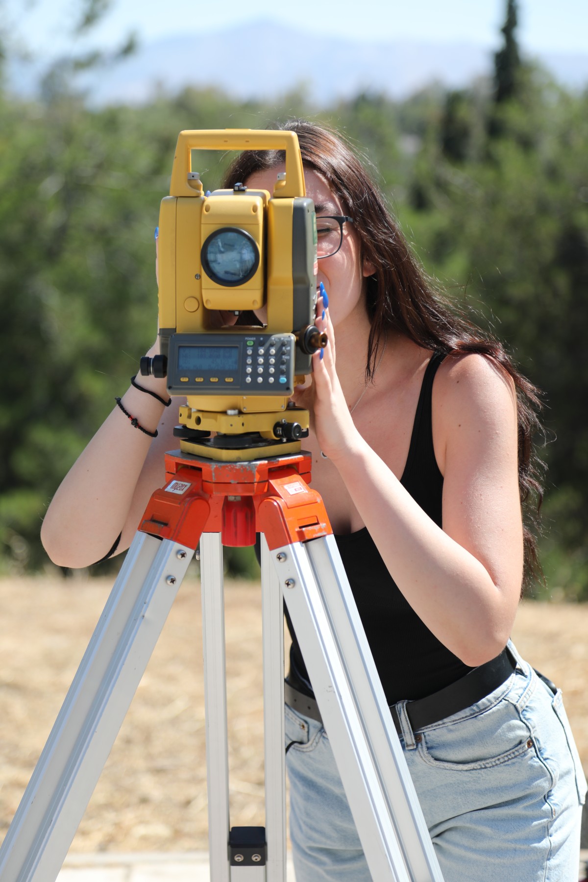
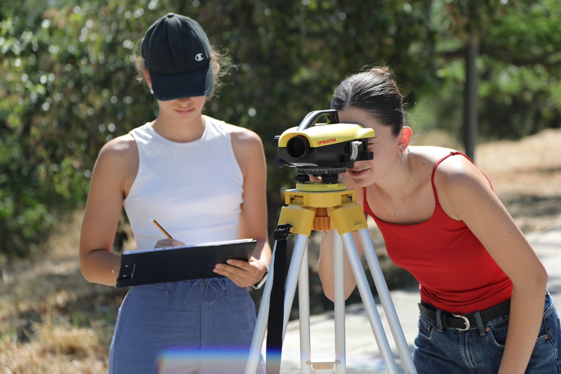
The Laboratory of Geodesy serves the educational and research needs in the fields of Advanced Geodesy, Physical Geodesy and Gravitation, Satellite Geodesy, Geodetic Astronomy, Topography, Technical Geodesy, Industrial Geodesy, Geodetic Metrology, Hydrographic Surveying, Large Scale Surveying (Archaeological etc.), Navigation. Its mission is to cover, at undergraduate and postgraduate level, the teaching and research needs of the Department of Geodesy-Mechanics and other Schools of the National Technical University of Athens in subjects that fall within the scope of the laboratory, research through research programs, either independently or by participating in joint programs with other laboratories or university institutions
Education
According to the Undergraduate Studies Program of the School of School of Rural, Surveying and Geoinformatics Engineering of the National Technical University of Athens, the Laboratory of Geodesy supports the education and practice of students in subjects related to the subject (6 Compulsory and 9 electives) and of course the realization of diploma theses (approximately 12/year). At the same time, the Laboratory supports the education and practice of students from other schools of the National Technical University of Athens in subjects related to the subject of Geodesy (1 Compulsory and 3 electives). The Laboratory supports educational activities in the Department of Geodesy of the School of Geodesy of the National Technical University of Athens "Geoinformatics", in the Department of Monument Protection of the National Technical University of Athens (coordinating School of Architecture) and in the Department of Maritime Technology and Science (coordinating School of Naval Architecture)
Research
Research activities focus on the following areas:
• Detection of deformations in civil engineering projects
• Detection of displacements of parts of the Earth's solid crust
• Technical and industrial geodesy
• Geometric documentation of monuments and architectural ensembles
• Terrestrial laser scanning technology
• Underground and underwater mapping
• Development of special precision height measurement methods
• Accurate determination of the geoid's N-distance
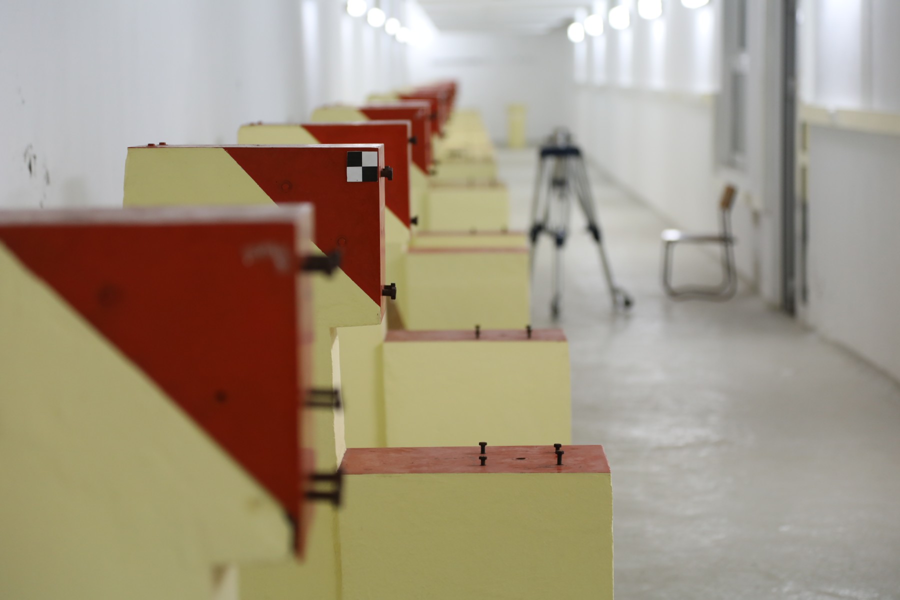
• Control and calibration of geodetic instruments (Geodetic Metrology)
• Interconnected systems, e-Geodesy, observations via the internet
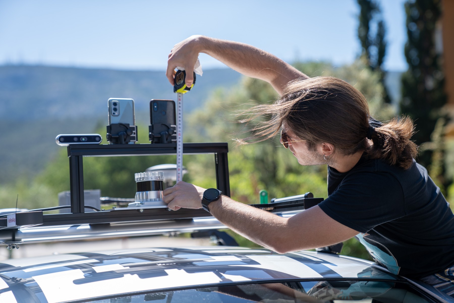
• GNSS/INS applications and mobile mapping systems
• Ground-based microwave interferometry radar