Sector: Topography
Director: Margarita Kokla
Contact
Address:
Topography Building, 9 Iroon Polytechneiou, Zografou 15780, Attica
Website: youtube.com/@ntuacarto
Short Description
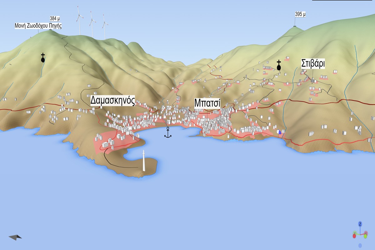
The NTUA Cartography Laboratory conducts educational and research work in Cartography and Geographic Information Science, following the mission of the International Cartographic Association (ICA). It covers the full range of activities related to the collection, processing and transformation of geospatial data, map composition, cartographic symbolization, cartographic generalization and other related topics. It deals with fundamental issues of cartographic communication, the relationship between Cartography and Art, design principles for multimedia cyber-maps, but also the creation of special maps for maritime navigation, tourism, culture, health, etc.
Education
The Laboratory is responsible for teaching several undergraduate and postgraduate courses, covering the subjects of General, Analytical, Thematic, Digital and Theoretical Cartography, GIScience and Geoinformatics.
Specifically, the undergraduate courses taught are:
- Cartography I (SRSGE, core course)
- Cartography II (SRSGE, core course)
- Principles of Geoinformatics and Geographic Information Systems (SRSGE, core course)
- Modern Methods of Cartography (SRSGE, flow compulsory course)
- Thematic Cartography (SRSGE, flow course)
- Geographic Information Systems (SCE, flow course)
The Cartography Laboratory participates in teaching courses in the following postgraduate programs:
- MSc Program “Geoinformatics”
- MSc Program “Naval and Marine Technology and Science”
- MSc Program “Science & Technology of Water Resources”
- MSc Program “Urban and Spatial Planning”
The postgraduate courses taught are:
- Theory of Geoinformatics (MSc “Geoinformatics”, core course)
- Processing, Analysis & Visualization of Spatial Data (MSc “Geoinformatics”, core course)
- Applications of Geoinformatics (MSc “Geoinformatics”, core course)
- Research Topics in Geographic Information Science (“Geoinformatics”, specialization course)
- Geographic Knowledge Representation Methods (MSc “Geoinformatics”, specialization course)
- Theoretical Approach to Spatial Visualizations (MSc “Geoinformatics”, specialization course)
- Advanced Methods of Analytical Cartography (MSc “Geoinformatics”, specialization course)
- Digital Technology & Cartographic Production (MSc “Geoinformatics”, specialization course)
- Application of Informatics in Road Transport (MSc “Geoinformatics”, specialization course)
- GIS and Spatial Databases for the Marine Environment (MSc “Ship and Marine Technology”, required course)
- Geographical Information Systems in Water Resources (MSc “Water Resources Science & Technology”, elective course)
- Principles of Geographic Information Science – Thematic Cartography (MSc “Urban and Spatial Planning”, elective course)
Research
The Cartography Laboratory focuses on the following research topics:
- Theoretical issues in Cartography – Cartography as a means of communication and knowledge
- Theory of geographic information
- Map quality assessment through the development of quality models
- Cartographic generalization
- Spatial data infrastructures
- Web-based cartographic applications
- Multimedia / multisensory maps
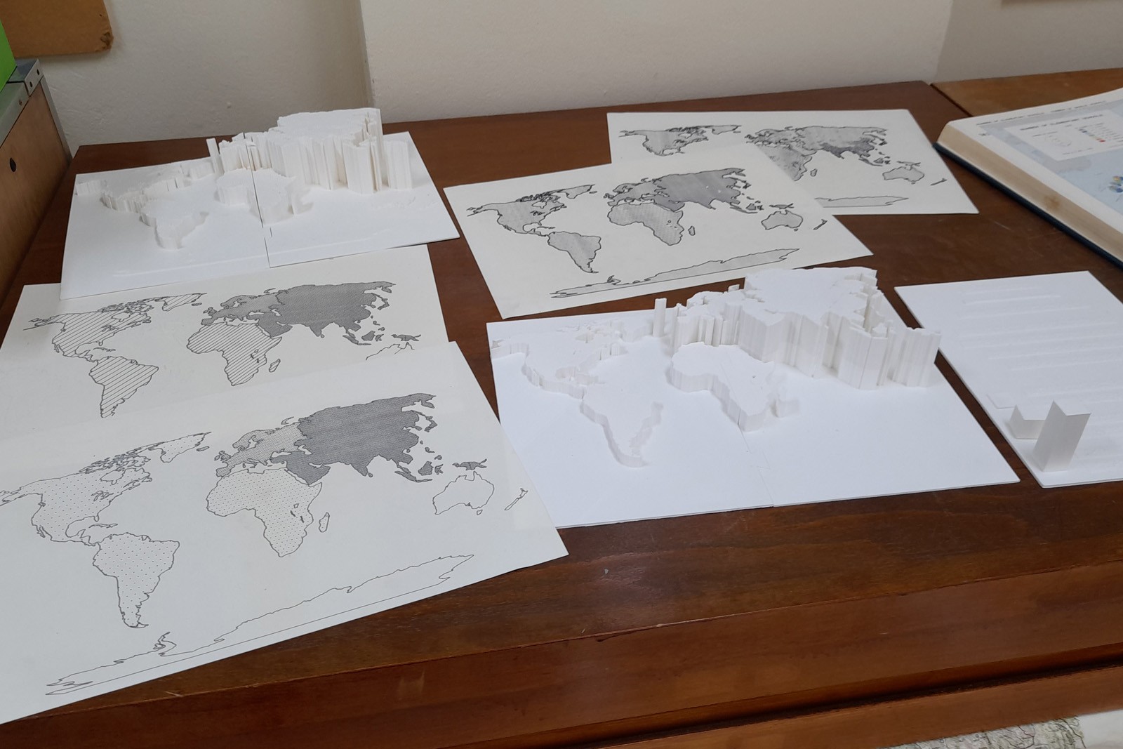
- Tactile maps for people with visual impairment
- Cybercartography
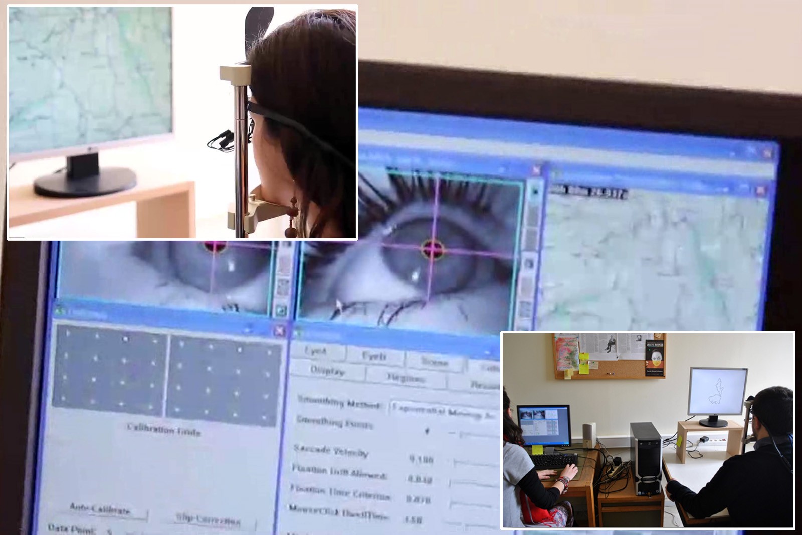
- Eye-tracking analysis in cartographic visualizations
- Analytical hill-shading
- Crowdsourcing
- Cartography and art
- Spatialization
- Cartography and children
- Development of spatial thinking and cartographic literacy
- Cognitive and linguistic issues in geospatial information
- Geospatial semantics
- Geospatial ontologies
- Extraction of geospatial information
- Ethics and maps
- Artificial Intelligence and cartographic production
- Maps and digital accessibility
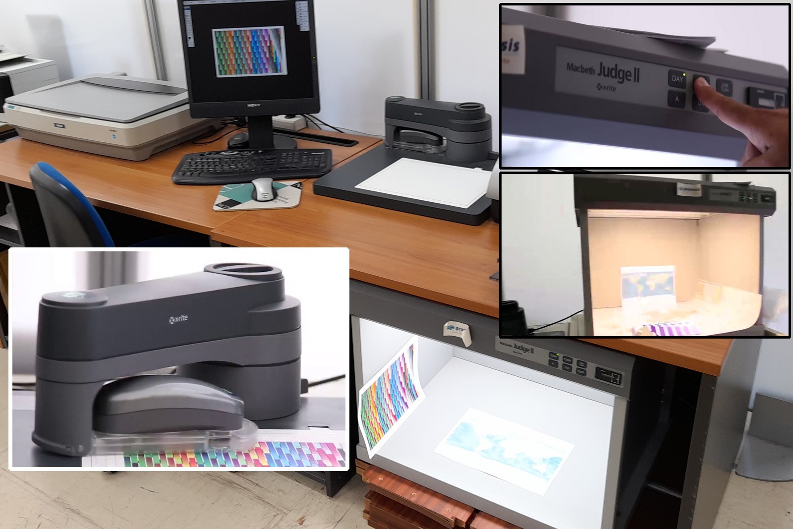
The Laboratory employs digital geovisualisation tools and GIS, semantic knowledge instruments, augmented / virtual reality and web cartography technologies, as well as systems for color management, eye-tracking and 3D map production. Additionally, in the context of the Laboratory’s participation in several European projects, technologies have been developed to support spatial thinking and the creation of specialized maps for education and for individuals with visual impairments.
Finally, the Laboratory has contributed to the establishment of the European Body for Geospatial Knowledge (BoK), and to the development of capacity building university courses in Central Asia and the Middle East, with the support of the Erasmus+ Programme of the European Union.