At the cutting edge of Geospatial Technology and Geoinformatics.
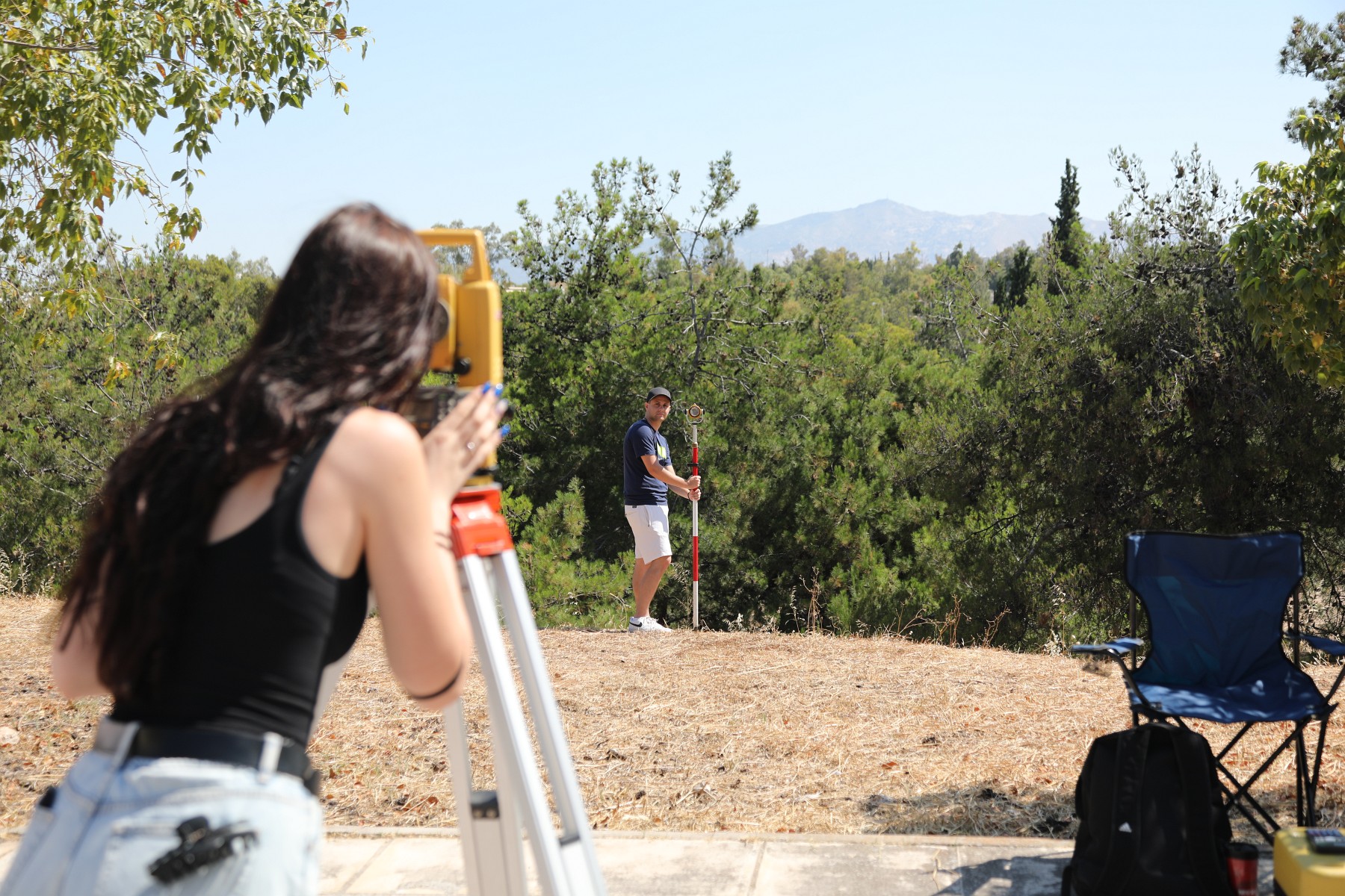
Undergraduate Studies
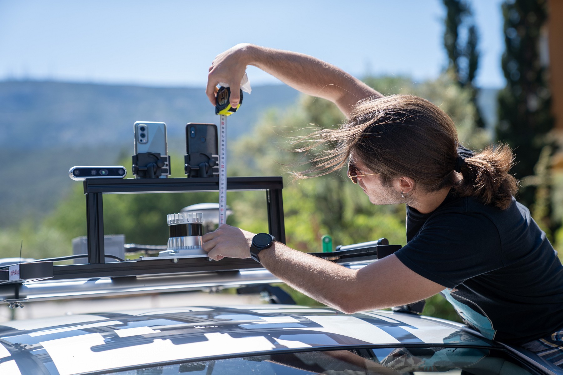
Postgraduate Studies
Welcome
School of Rural, Surveying and Geoinformatics Engineering
National Technical University
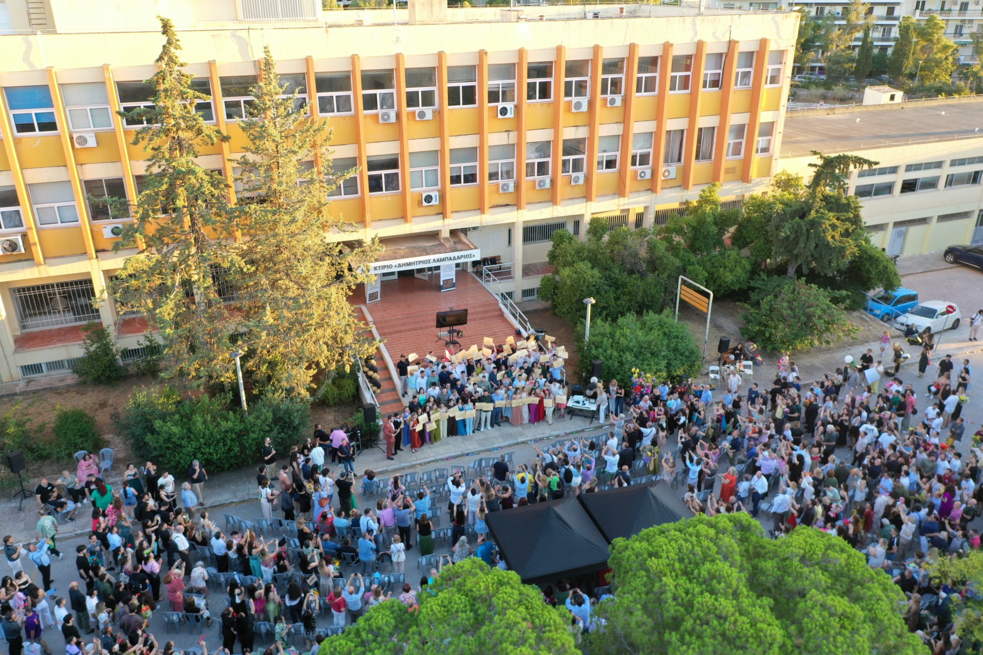
The School of Rural, Surveying and Geoinformatics Engineering of the National Technical University of Athens (NTUA) is dedicated to providing high-quality academic education and research in its scientific disciplines, contributing to the advancement of science, technology, and society.
Why study at the School of Rural, Surveying and Geoinformatics Engineering?
The School of Rural, Surveying and Geoinformatics Engineering offers a modern, interdisciplinary, and technologically advanced study programme that covers the entire spectrum of the Earth and space domains and their applications.
Digital Transformation of the Built and Natural Environment
Transformation of the physical and human-made environment into high-accuracy digital models and geospatial datasets. Mapping, monitoring, analysing, and visualising space (land use, natural processes, infrastructure, and cultural heritage) through 2D/3D representations, web-based mapping applications, Building Information Modelling (BIM), and digital twins.
Integrated Geospatial Systems
Integration of satellite systems, positioning technologies, autonomous vehicles, unmanned aerial vehicles (UAVs), and sensors for the observation and monitoring of the Earth. Processing and exploitation of geospatial data for applications in environmental monitoring, natural hazards, energy systems, smart cities, and civil protection.
Spatial Intelligence and Data Analytics
Analysis and interpretation of geospatial information through Geographic Information Systems (GIS), big data analytics, and artificial intelligence. Supporting decision-making processes based on spatial information and spatiotemporal changes for spatial planning, urban and regional development, and transportation management.
Infrastructure Design and Implementation
Planning, design, implementation, and monitoring of infrastructure projects. Applications in construction, transportation and sustainable mobility, energy systems, water resources management, cadastre, and land administration.
Integration with Emerging Technologies
Integration of geospatial information and space-related technologies with cutting-edge applications, including Earth observation systems, positioning and navigation technologies, autonomous systems, augmented and virtual reality, and digital environments.

Interdisciplinarity and Societal Impact
Combining knowledge from geospatial science, information technology, and environmental sciences to address contemporary challenges such as sustainable development, climate adaptation, urban resilience, cultural heritage preservation, and the improvement of quality of life.